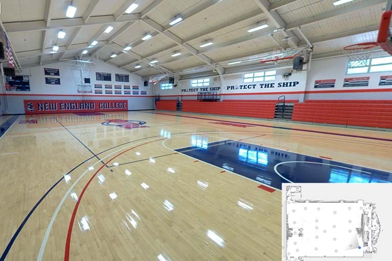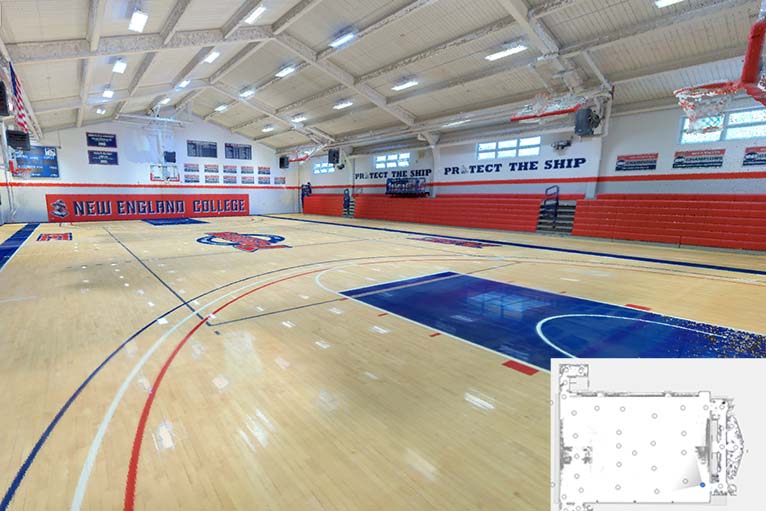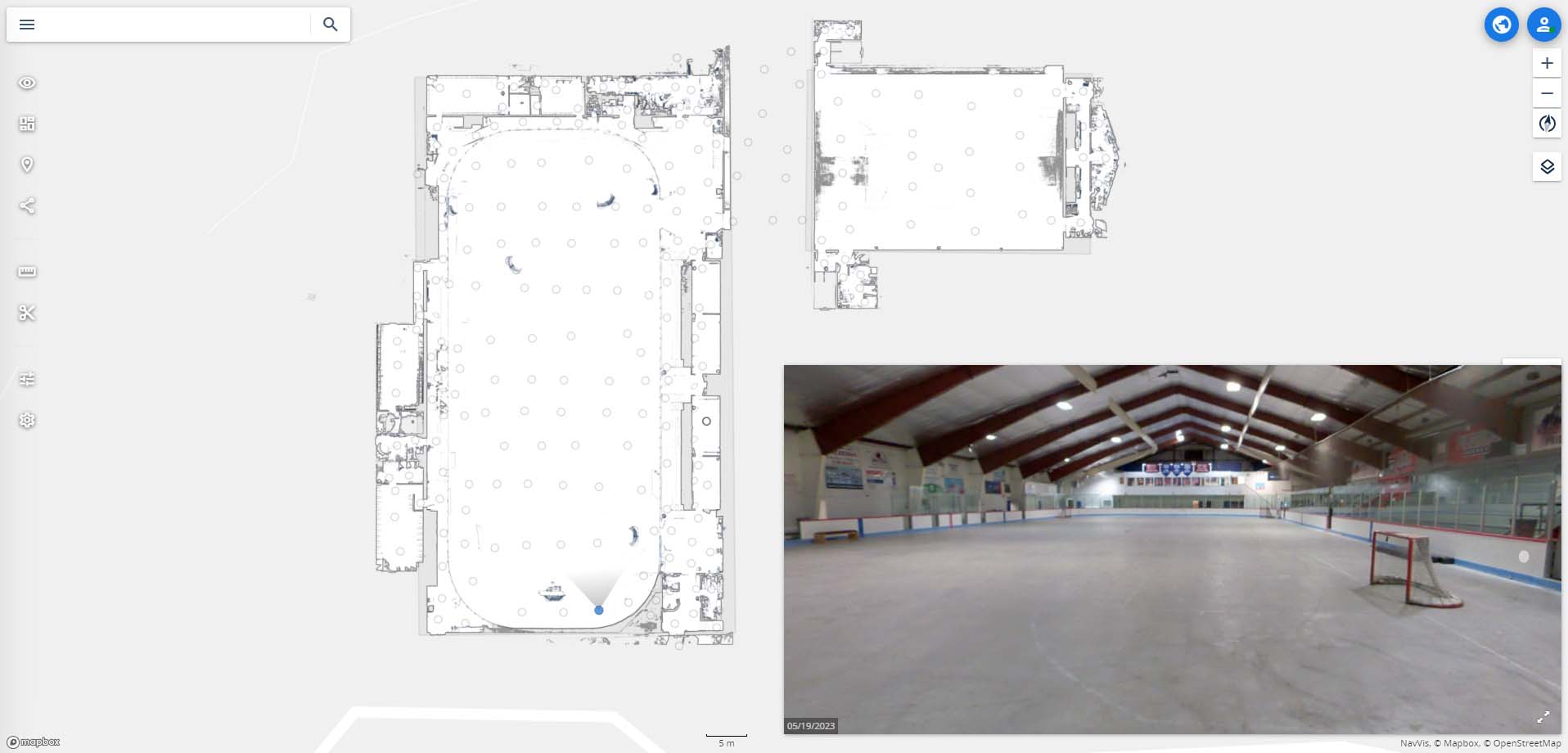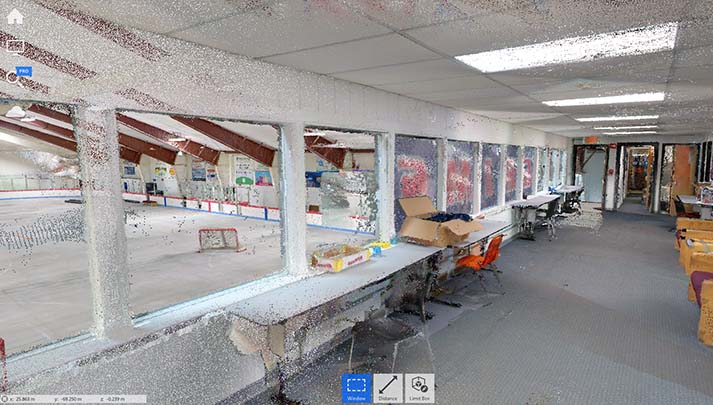
Description
 Location: Henniker, NH
 Square feet: 51,000
 Levels: 2 floors
  Equipment: NavVis VLX 3 mobile scanner and DJI Phantom 4 Pro Drone.
 Scan time: 1 day
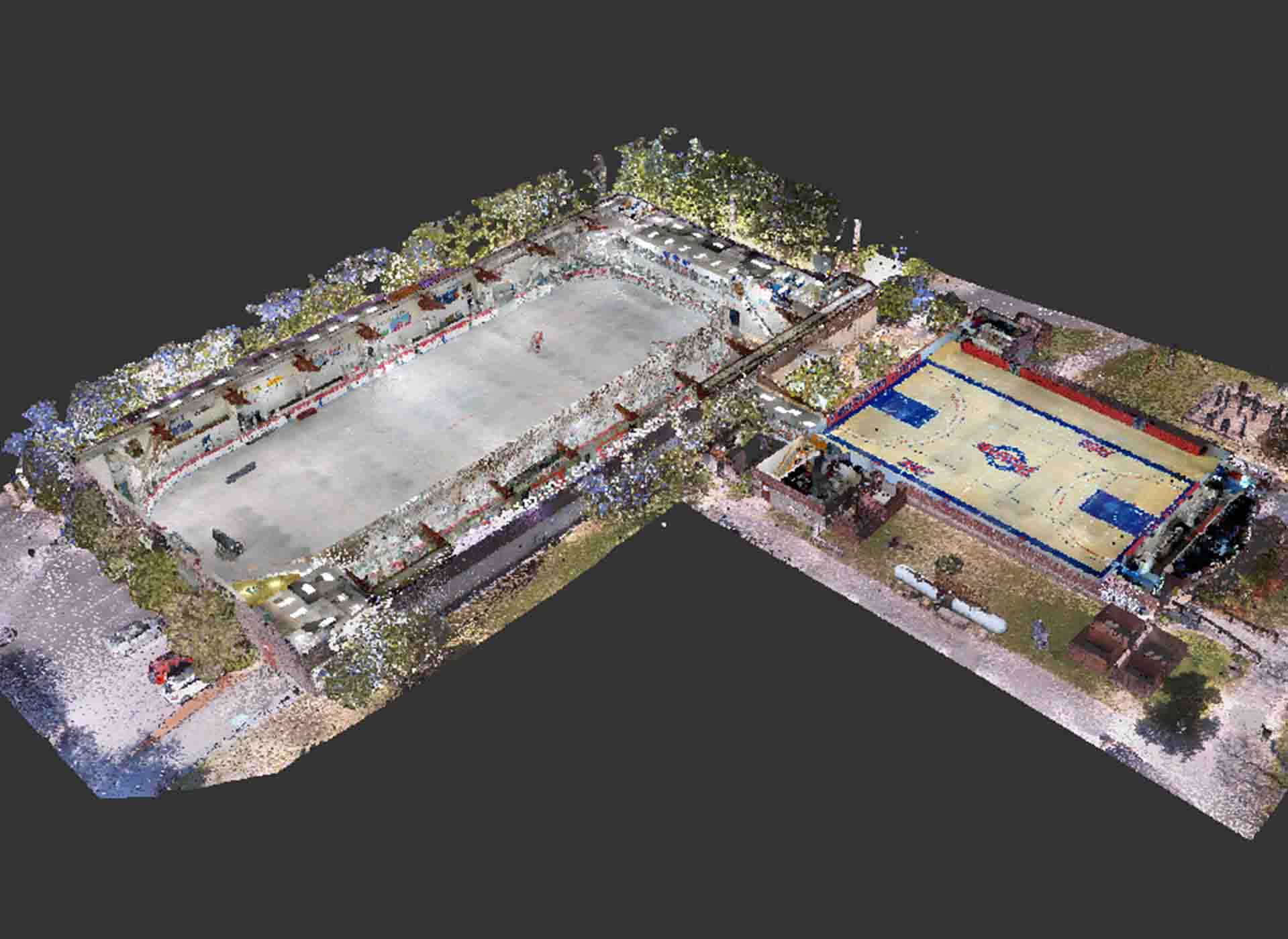
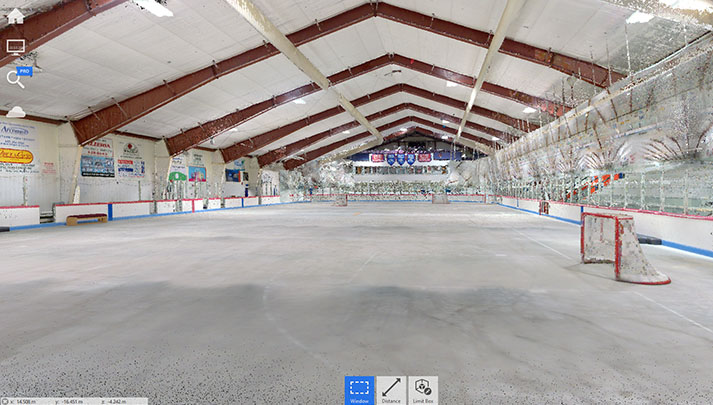
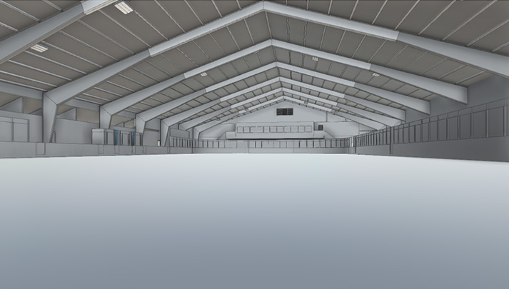
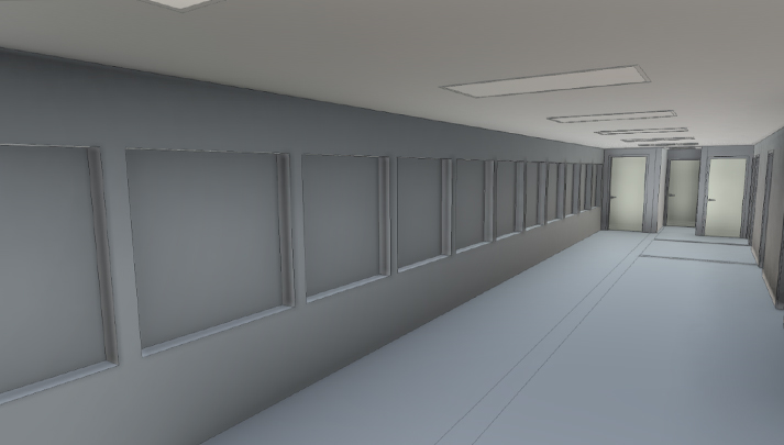
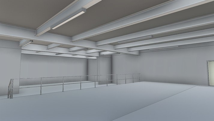
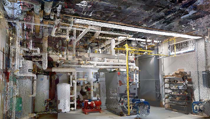
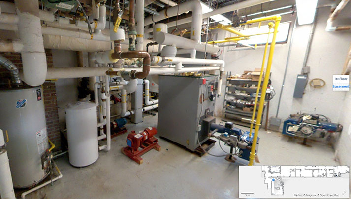
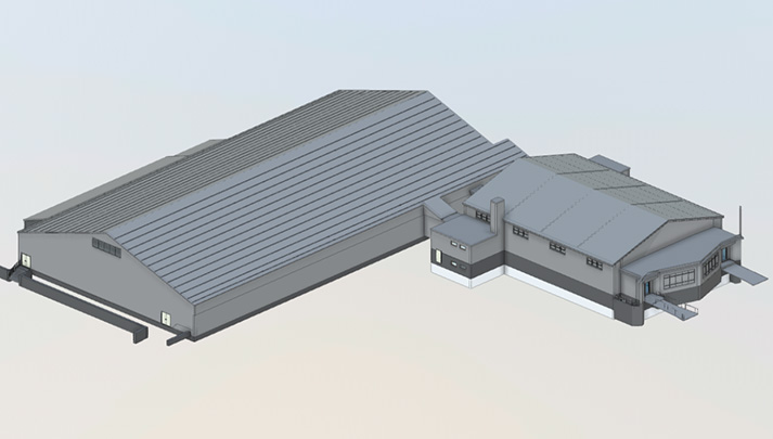
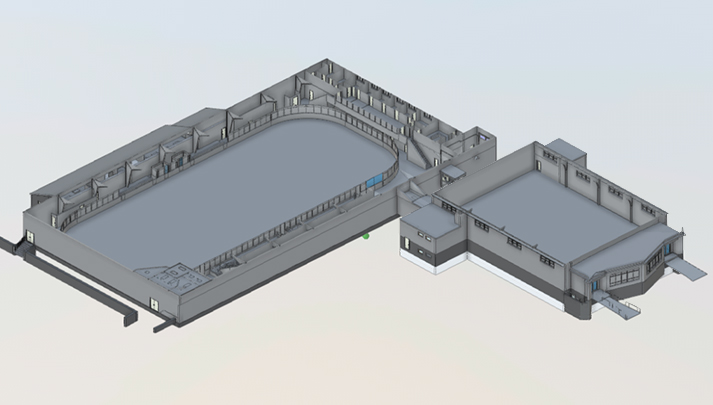
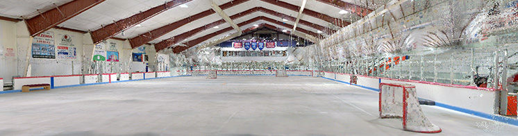
  Details: We scanned the interior and exterior of each building. We built a point cloud file from those scans, which was used to develop a Revit model. Then, we also took drone images for site analysis and utility locations.
Deliverables:
- Point Cloud
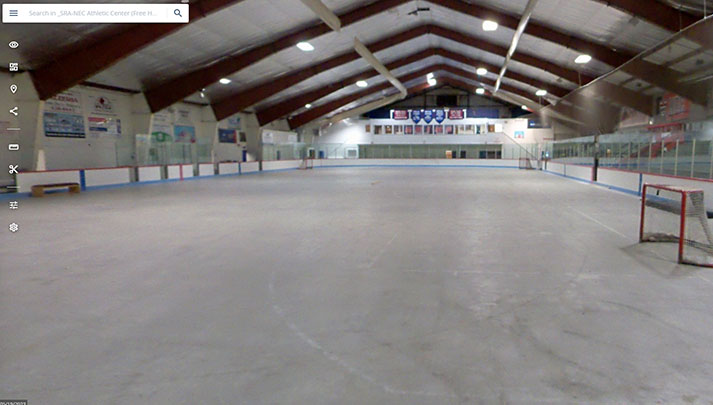
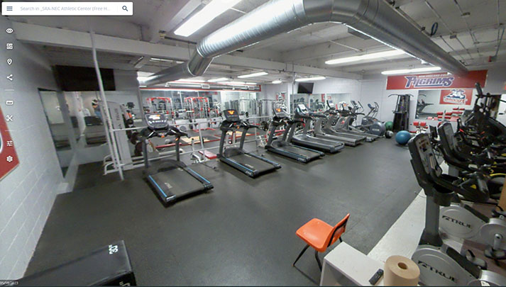
- Virtual Tour: 399 Images
- Revit Model
- Aerial Images